- English
- Español
Languages:
This site is created using Wikimapia data. Wikimapia is an open-content collaborative map project contributed by volunteers around the world. It contains information about 32842324 places and counting.
Learn more about Wikimapia and cityguides.
Los Andes
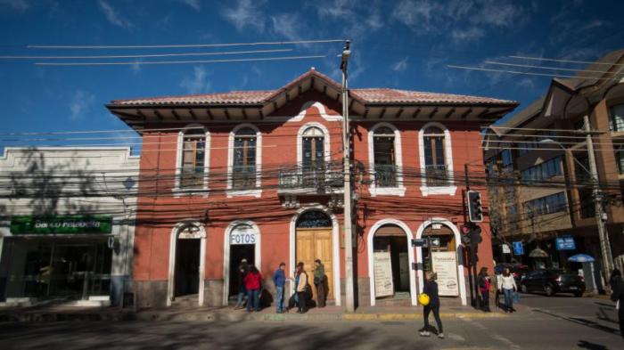
Los Andes, founded on July 31, 1791 as Santa Rosa de Los Andes, is a Chilean city and commune located in the province of the same name, in Valparaíso Region ("Fifth Region" of Chile). It lies on the route between Santiago and Chile's primary border crossing with Argentina by way of the summit of the Uspallata Pass in the Andes mountain range.
According to the 2017 census of the National Statistics Institute, Los Andes spans an area of 1,248.3 km2 (482 sq mi) and has 66,708 inhabitants.
Los Andes stands at the beginning of the now derelict metre gauge Transandine Railway, opened in 1910, which once ran to Mendoza in Argentina, providing a link between the broad gauge line from Valparaiso to Los Andes, operated by the Chilean State Railway, and the broad gauge line from Mendoza to Buenos Aires operated by the Buenos Aires and Pacific Railway.
Wikipedia article: http://en.wikipedia.org/wiki/Los_Andes,_Chile
Los Andes, founded on July 31, 1791 as Santa Rosa de Los Andes, is a Chilean city and commune located in the province of the same name, in Valparaíso Region ("Fifth Region" of Chile). It lies on the route between Santiago and Chile's primary border crossing with Argentina by way of the summit of the Uspallata Pass in the Andes mountain range.
According to the 2017 census of the National Statistics Institute, Los Andes spans an area of 1,248.3 km2 (482 sq mi) and has 66,708 inhabitants.
Los Andes stands at the beginning of the now derelict metre gauge Transandine Railway, opened in 1910, which once ran to Mendoza in Argentina, providing a link between the broad gauge line from Valparaiso...
 Reduce description
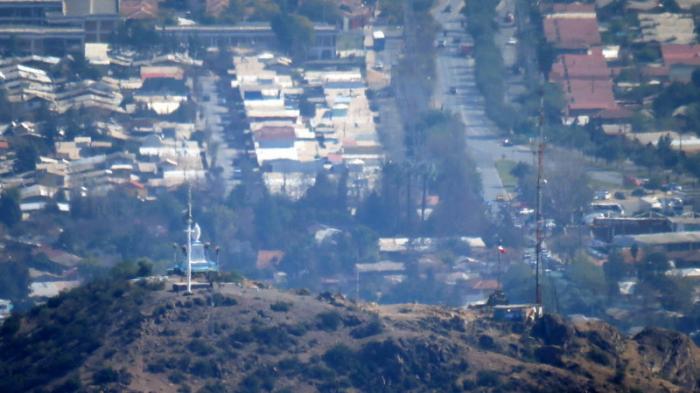
Los Andes on the map.